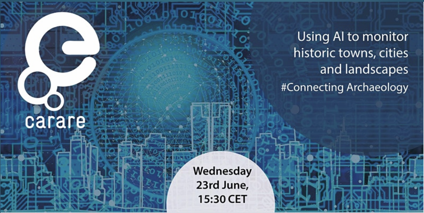
The next webinar in CARARE’s #Connecting Archaeology Series will take place on Wednesday 23rd June at 15:30 CET.
The webinar will explore some of the ways that artificial intelligence is being used with aerial and satellite imagery to monitor landscapes. Three speakers will give short presentations after which there will be time for questions and discussion:
- “AI and satellite images to monitor historical (features of) landscapes”, Henk Alkemade
- “3D and AI technologies for the development of automated monitoring of urban cultural heritage”, Tadas Žižiūnas, Faculty of Communication of Vilnius University
- ” Monitoring of Immovable Cultural Heritage using 3D and Artificial Intelligence Technologies”, Rimvydas Laužikas, Faculty of Communication of Vilnius University
More information on this free event is available on the Eventbrite registration page.