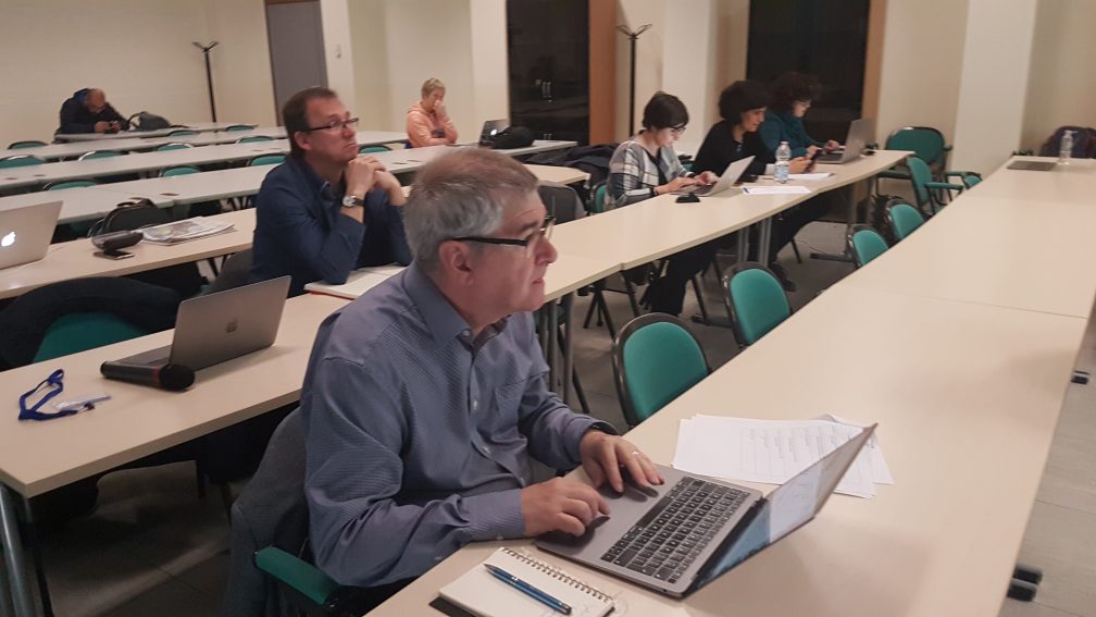
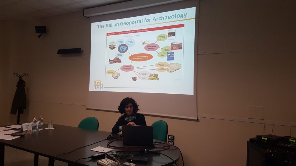
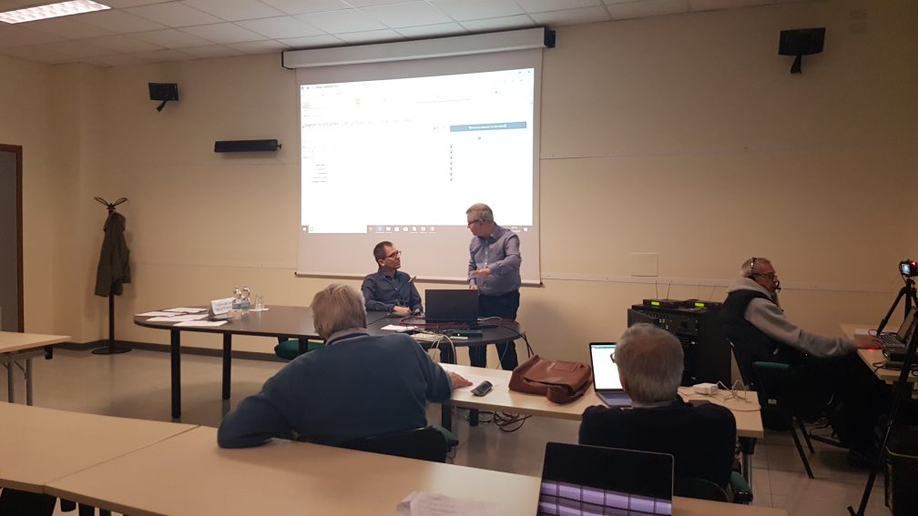
One of the main objectives of ARIADNEplus is to increase the amount and coverage of data in the ARIADNE Portal. The scope of the new data to be ingested will be wider geographically and more varied in type as new archaeological disciplines are introduced to the existing collection. Consequently, the data schema used to map the records to be provided by all the partners has been updated to cater for the wider subject scope as well as take advantage of the latest developments for making data more open and interoperable. CNR organised a first workshop at Pisa, Italy (13th-14th May) to introduce partners with sites and monuments inventories and archaeological intervention/event records to the new schema, mapping and ingestion processes which are all integrated into D4Science, a widely used Virtual Research Environment platform provided by CNR.
After a welcome from local organisers, Carlo Meghini and Vittore Casarosa, Deputy Project Co-ordinator Julian Richards outlined the purpose of the two days and defined what was understood by these two primary data types (or semantic categories) which make up the majority of records in the ARIADNE portal. Alessia Bardi then described the aggregation pipeline which will be followed to ingest metadata into the ARIADNE data cloud. Achille Felicetti followed with the new ARIADNEplus Ontology (AO), a much simplified version of the ARIADNE Common Data Model (ACDM) which will provide the blueprint to enable partners to aggregate their data. After lunch, Ceri Binding demonstrated the new vocabulary mapping tool, and it was agreed that this would be integrated into the pipeline in D4Science to allow partners to map their subject vocabularies to the Getty AAT. It was also noted that it could be used to ensure other vocabularies are also controlled, including ‘archaeological event types’ (e.g. excavation, field walking) and cultural period terms. However, partners would still have to use PeriodO to define the absolute date range for their period terms since time periods for the same terms vary widely between countries.
On second day of the workshop, each of the partners presented their datasets in turn and this was followed by a useful discussion, prioritising data for upload, and agreeing the mapping to the AO. Olivier Martlet and Xavier Rodier from CNRS-Citeres also joined the workshop via Skype and presented OpenArchaeo which will be evaluated for use in the D4Science platform for the interrogation of the Linked Open Data. Wider issues were also discussed, such as the need to use an Open Layers approach for the ARIADNE geospatial interface, so that users can choose their own basemaps, including historic maps, such as Roman road systems. A second aggregation workshop will be held in Pisa on 23rd-24th September for the remaining partners with sites and monuments inventories, and databases of archaeological interventions and grey literature.


